New Mexico Travel Spots offer a captivating blend of natural wonders, rich history, and vibrant culture. SIXT.VN is your go-to resource for planning unforgettable trips, providing seamless services, including airport transfers, hotel bookings, and guided tours, ensuring a hassle-free exploration of New Mexico’s hidden gems. Discover amazing Southwest destinations with SIXT.VN.
1. Discover the Charm of Santa Fe
Santa Fe, New Mexico, a vibrant city brimming with culture, art, and Spanish colonial charm, sits nestled in the foothills of the Sangre de Cristo Mountains. It is one of the oldest cities in the U.S., founded in 1610. The scenery here is a gorgeous mix of adobe architecture, scenic desert, and mountain vistas.
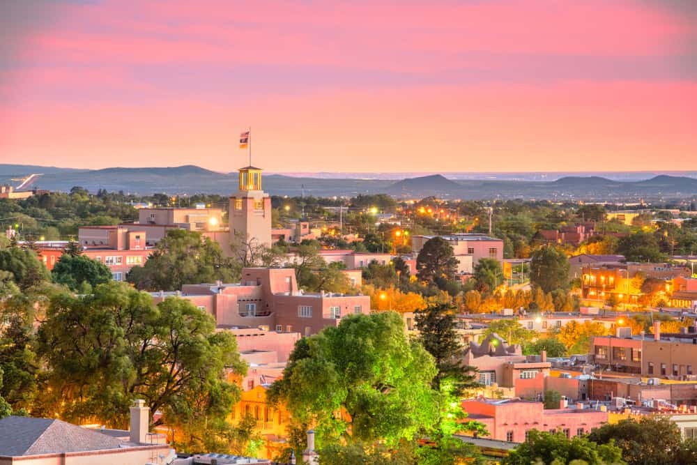 Santa Fe – Historic streets and adobe buildings in Santa Fe, New Mexico
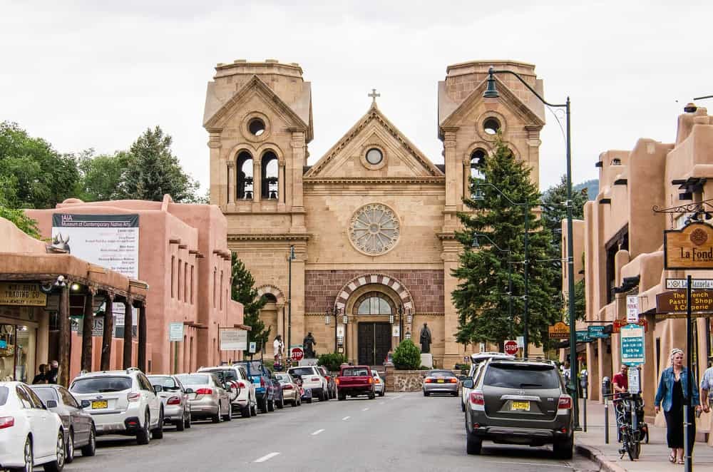 Santa Fe Downtown – People walking near old buildings at daytime
What are the must-see attractions in Santa Fe?
Explore the historic Plaza, discover the Georgia O’Keeffe Museum, the renowned Canyon Road art galleries, and San Miguel Chapel, showcasing Native American, Spanish, and Anglo influences in traditional markets, local cuisine, and colorful festivals.
Where is the Santa Fe Visitors Center located?
The Visitors Center is located at 201 W Marcy St, Santa Fe, NM 87501. You can find it easily using this map location.
When is the best time to visit Santa Fe?
Spring or fall offer comfortable temperatures for exploring Santa Fe.
What are some of the best hotels and restaurants in Santa Fe?
- La Fonda on the Plaza: Offers a rooftop hot tub and décor with hand-painted murals, colorful tiles, and original New Mexican art.
- The Shed: This New Mexican Restaurant has a fun vibe and tasty red chile enchiladas.
What outdoor activities can you enjoy near Santa Fe?
Consider hiking the Winsor Trail, a 10-mile trail near Santa Fe that takes you through the Sangre de Cristo Mountains. Afterwards, relax at the nearby San Antonio Hot Springs.
2. Experience the Wonders of White Sands National Park
White Sands National Park, located in southern New Mexico, is a dazzling gem with stunning white sand dunes covering around 275 square miles. It attracts visitors, photographers, and Instagrammers from around the world.
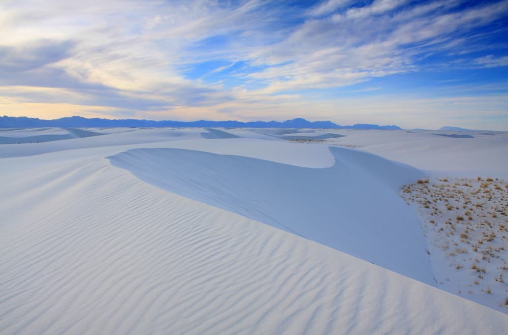 White Sands National Monument – Sand dunes and bright sky at White Sands National Monument
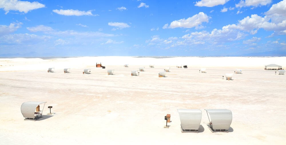 White Sands National Park – People walking on the sand dune at White Sands National Park
What can you do at White Sands National Park?
Explore hiking trails, including the Dune Life Nature Trail, and enjoy sledding down the dunes.
Where is White Sands National Park located?
The park is located at 19955 US-70, Alamogordo, NM 88310. Use this map location to find your way.
When is the best time to visit White Sands National Park?
Spring and fall offer cooler temperatures for a comfortable visit.
What unique experiences can you have at White Sands?
Join a ranger-led guided walk to learn about the unique flora and fauna, including the white sands pupfish and yucca. Enjoy the Instagram-worthy views of the white sands glowing at sunset.
What is special about White Sands?
White Sands National Park is home to the largest gypsum sand dunes on the planet.
3. Explore the Surreal Landscape of Bisti Badlands
Bisti Badlands, tucked away in the arid desert of the San Juan Basin near Farmington, is a unique wilderness with dramatic, colorful rock formations, petrified wood, and fossils shaped by wind and water over millions of years.
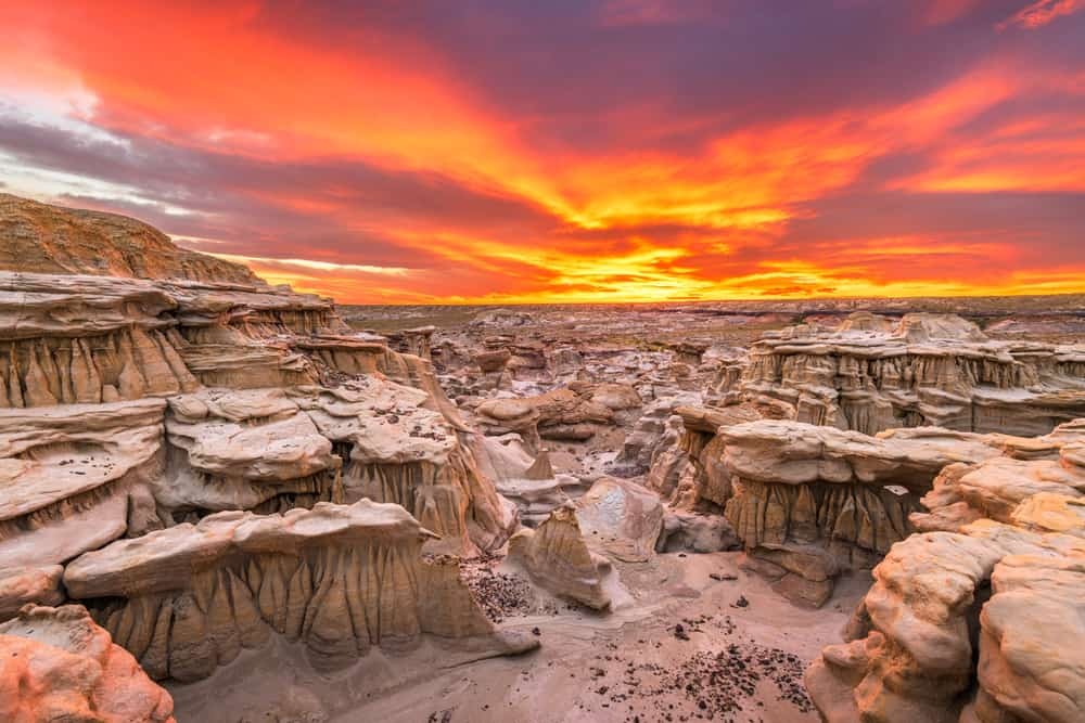 Beautiful Bisti Badlands – Rock formations in Bisti Badlands at daytime
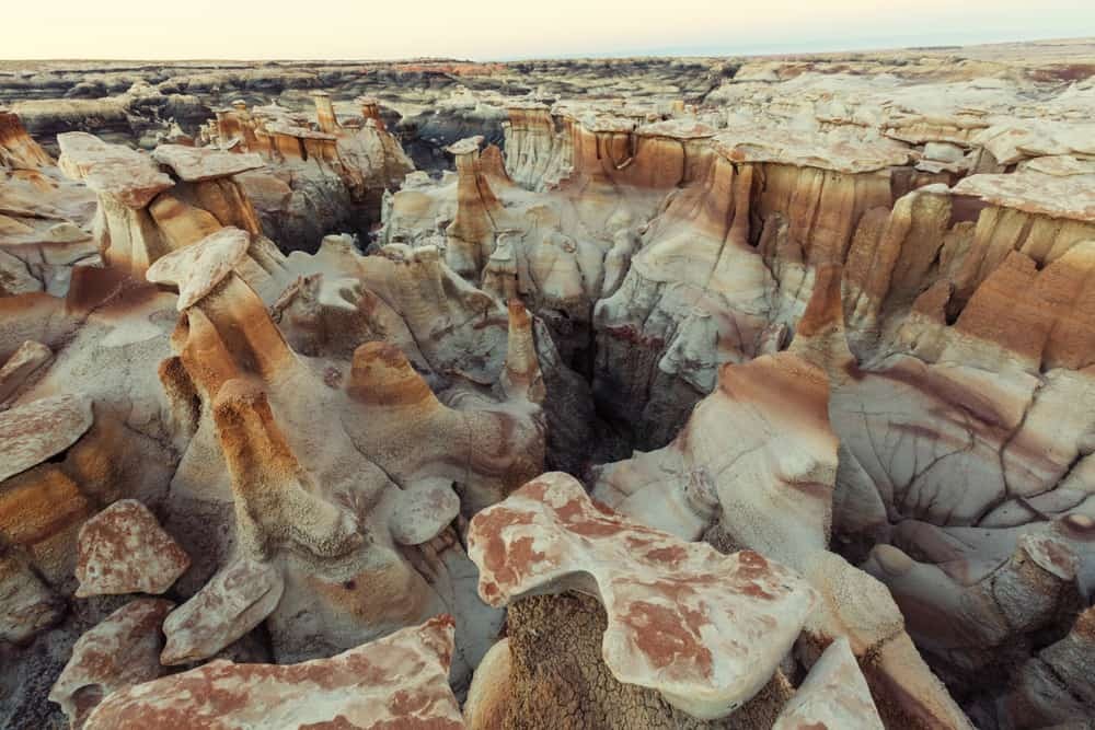 Bisti Badlands – Rock formations in Bisti Badlands at daytime
What makes Bisti Badlands unique?
The area was once a coastal swamp of an inland sea, creating a surreal and unusual landscape.
Where is Bisti Badlands located?
Bisti Badlands is located off Bisti Access Road, Farmington, NM 87401. You can find it using this map location.
When is the best time to visit Bisti Badlands?
Visit in spring and fall for cooler temperatures.
What are some must-see formations in Bisti Badlands?
Explore the “Cracked Egg” formations by heading east from the Bisti/De-Na-Zin Wilderness parking area. Find scenic overlooks and photograph the hoodoos.
What can you expect to see at Bisti Badlands?
Tall natural pillars of rock create dramatic shadows and shapes, offering great photo opportunities.
4. Hike in the Wheeler Peak Wilderness
Wheeler Peak Wilderness, located in the Sangre de Cristo Mountains near Taos County, offers alpine wilderness with stunning views and a tranquil vibe.
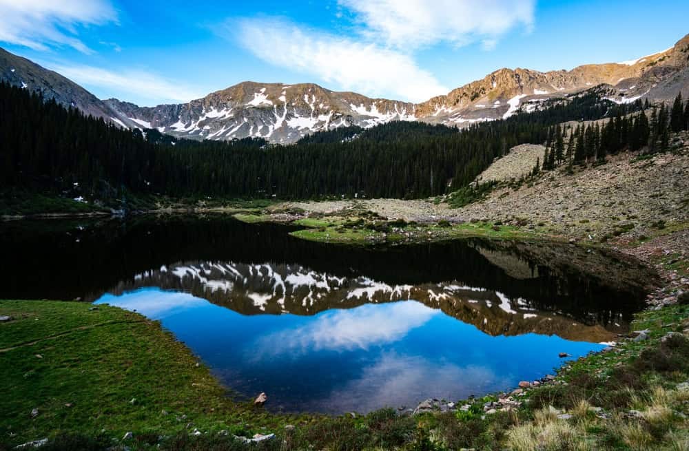 Williams lake in Wheeler Peak Wilderness – A serene lake surrounded by lush greenery in Wheeler Peak Wilderness
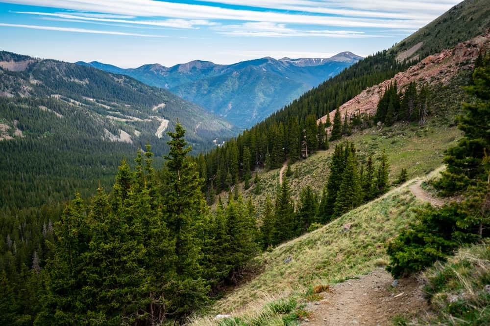 Wheeler Peak Wilderness – snow-covered trees and snow-covered ground at Wheeler Peak Wilderness
What kind of scenery can you expect in Wheeler Peak Wilderness?
Towering mountains, lush alpine meadows, dark green forests, crystal-clear lakes, and wildflower displays await against the backdrop of the highest peaks in the state.
Where is Wheeler Peak Wilderness located?
It’s located off NM-150, Taos Ski Valley, NM 87525. This map location will guide you.
When is the best time to visit Wheeler Peak Wilderness?
Spring to fall is ideal for the best temperatures and scenery.
What activities can you enjoy in Wheeler Peak Wilderness?
Explore scenic hiking trails, picnic by Williams Lake, and camp under the stars in the backcountry.
What wildlife can you spot in Wheeler Peak Wilderness?
Keep an eye out for elk, bighorn sheep, and red-tailed hawks.
What is the highlight of hiking Wheeler Peak?
The panoramic views from the summit of Wheeler Peak, the highest point in the state, make the challenging 9-mile round trip worthwhile.
5. Marvel at the Majesty of Shiprock
Shiprock, located in northwestern New Mexico, is a striking geological formation and a sacred site for the Navajo Nation, believed to have formed around 30 million years ago from a volcanic eruption.
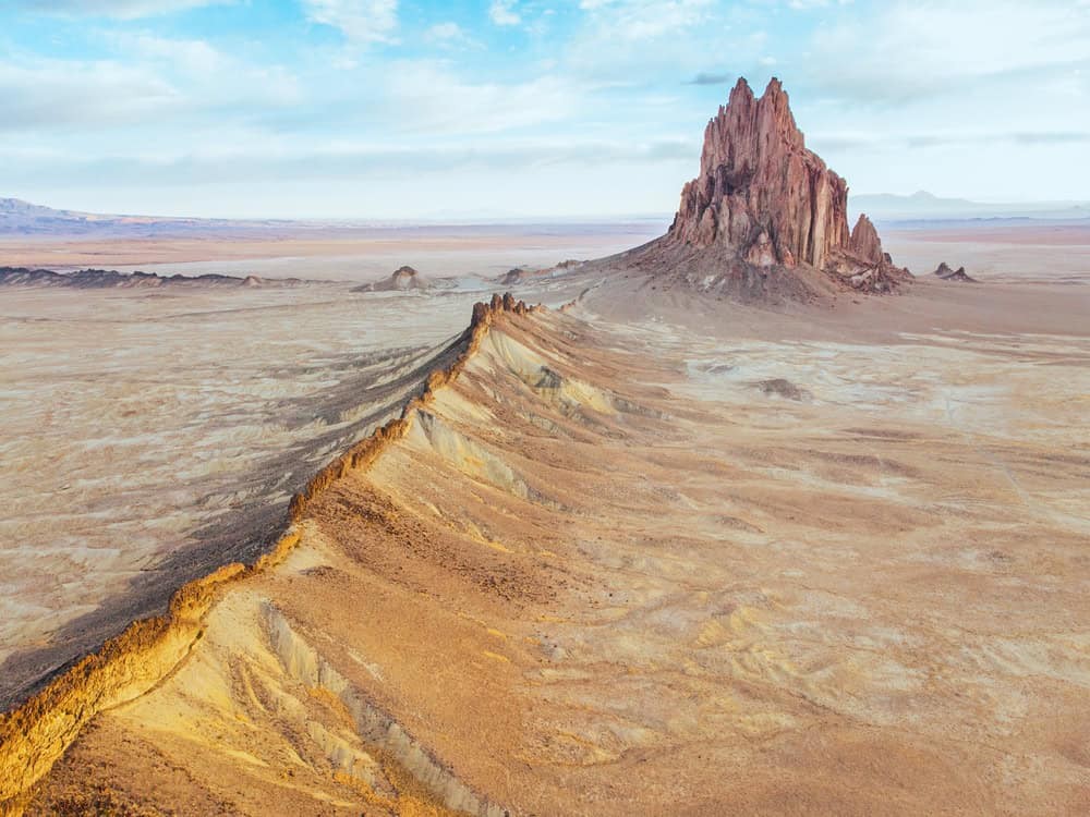 Shiprock – A towering rock formation and clear sky at Shiprock
 Shiprock – View of Shiprock, New Mexico, USA
What is special about Shiprock?
It’s a geological marvel and a sacred site for the Navajo Nation, resembling a ship’s sail.
Where is Shiprock located?
Shiprock is located in Shiprock, NM 87420. Use this map location to find your way.
When is the best time to visit Shiprock?
Spring and fall offer cooler temperatures for exploring.
What can you do at Shiprock?
Explore the surrounding hiking trails, capture the stunning spot at sunset, and browse locally made Navajo rugs, jewelry, and art in nearby shops.
How can you learn more about Shiprock’s cultural significance?
Take a guided tour with a Navajo guide to learn about the spiritual significance, history, and folklore surrounding the rock.
What is the best hiking trail around Shiprock?
Hike the 4-mile Shiprock Peak Trail, which offers views of the rock and surrounding desert landscapes.
6. Step Back in Time at Bandelier National Monument
Bandelier National Monument, located near Los Alamos, preserves the remnants of an ancient Pueblo civilization that inhabited the area over 11,000 years ago.
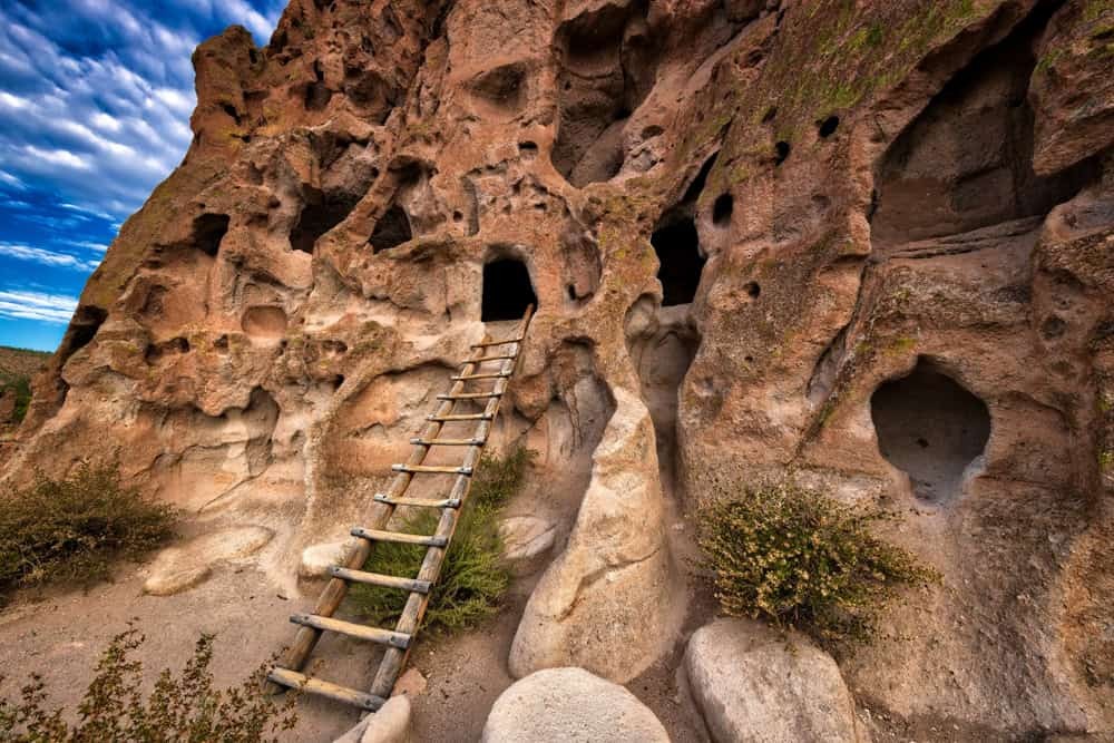 Bandelier National Monument – An archaeological site with historical buildings at Bandelier National Monument
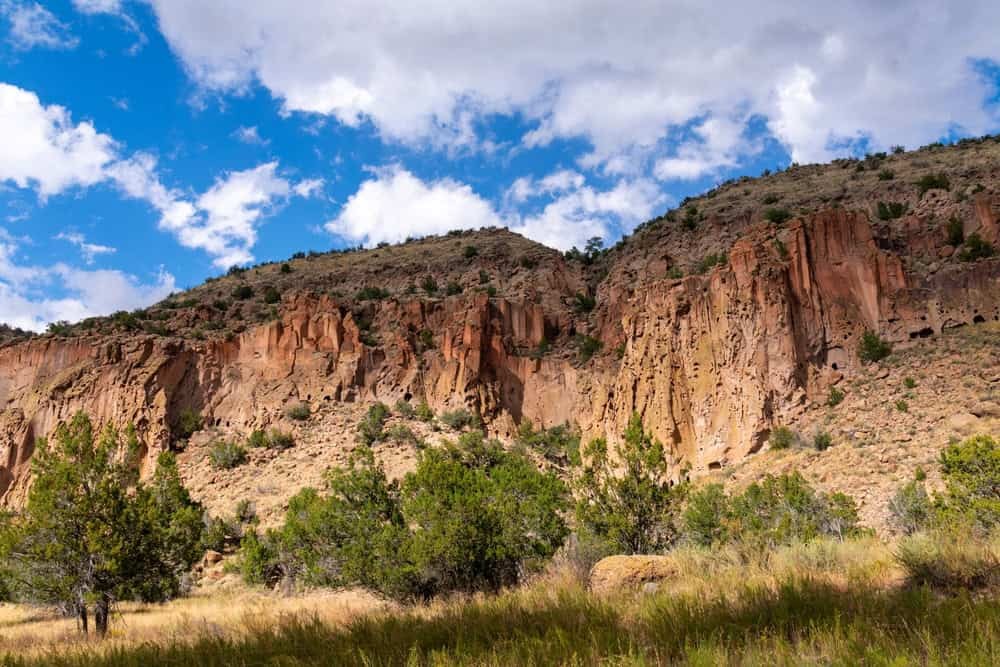 Frijoles Canyon – A beautiful view of a canyon, trees, and the sky at Frijoles Canyon
What can you see at Bandelier National Monument?
Ancient cave homes carved from the volcanic tuff in Frijoles Canyon.
Where is Bandelier National Monument located?
The monument is located at 15 Entrance Rd, Los Alamos, NM 87544. This map location will guide you.
When is the best time to visit Bandelier National Monument?
Spring and fall offer cooler temperatures for a comfortable visit.
What activities are available at Bandelier National Monument?
Explore scenic, historic hiking trails, discover the ruins of the Tyuonyi Pueblo ancestral village, check out the Visitor Center, and marvel at the ancient petroglyphs and masonry walls.
What are the highlights of visiting Bandelier?
Climb wooden ladders into ancient Puebloan cliff dwellings and see petroglyph drawings etched into the tuff along the Main Loop Trail.
How long is the Main Loop Trail at Bandelier?
The Main Loop Trail takes about 2 hours to complete.
7. Embark on a Road Trip Along the Rio Grande River
A road trip along the Rio Grande River offers majestic canyons, lush river valleys, desert landscapes, mountain views, cultural landmarks, and hot springs.
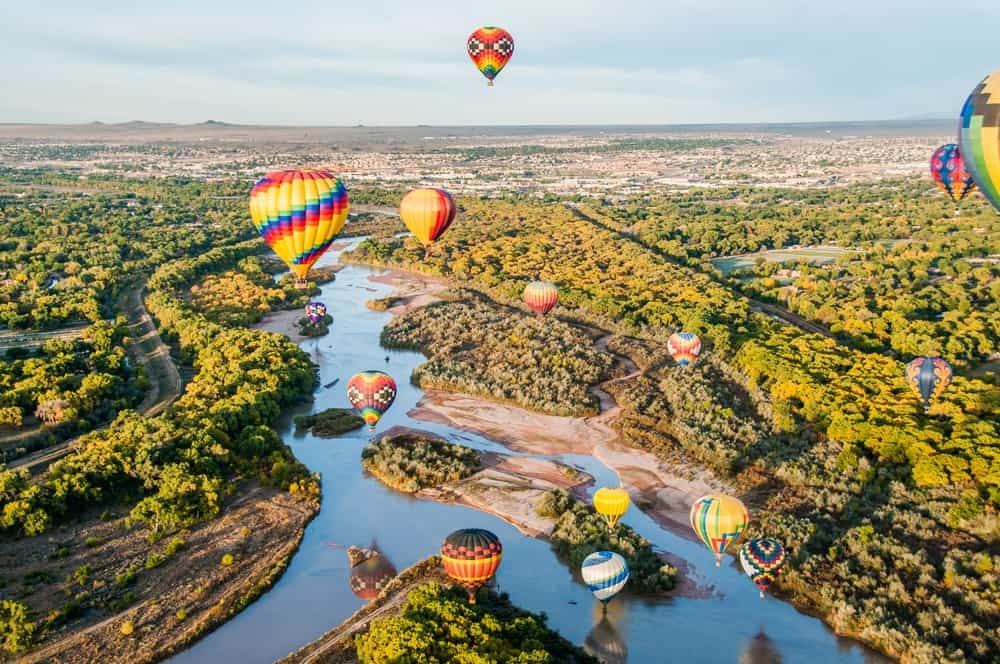 Rio Grande River New Mexico – A view of the Rio Grande River in New Mexico
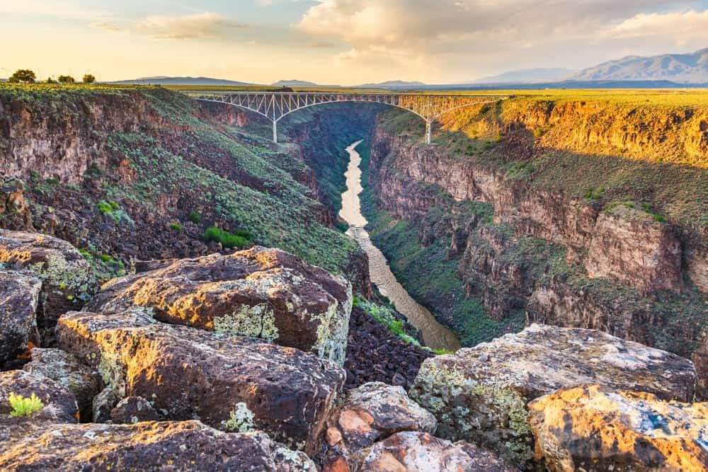 Rio Grande River Road Trip – A winding road trip in Rio Grande River
When is the best time to take this road trip?
This road trip can be taken all year round, in summer or winter.
What are the highlights of this road trip?
The drive from Taos to Big Bend National Park, panoramic views from the steel bridge crossing Rio Grande Gorge, red rock cliffs and hoodoos at Ghost Ranch, Frijoles Canyon, the Sangre de Cristo Mountains, the hot springs of Truth or Consequences, and the dramatic cliffs of Big Bend National Park.
Where is the Rio Grande located?
The Rio Grande is located in the western part of the state. Use this map location to get an idea of the route.
8. Witness the Unique Formations at Kasha-Katuwe Tent Rocks National Monument
Kasha-Katuwe Tent Rocks National Monument features conical rock formations, narrow slot canyons, and views of the surrounding high desert landscape, framed by the Jemez Mountains.
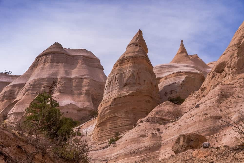 Kasha-Katuwe Tent Rocks National Monument – Kasha-Katuwe Tent Rocks National Monument
 Kasha-Katuwe Tent Rocks National Monument – A narrow foot path way at Kasha-Katuwe Tent Rocks National Monument
What is special about Kasha-Katuwe Tent Rocks?
The landscapes are extraordinary and highly photogenic, formed 6 to 7 million years ago from volcanic eruptions.
Where is Kasha-Katuwe Tent Rocks National Monument located?
It is located at 6 Tent Rocks Rd, Cochiti Pueblo, NM 87508. Use this map location to find your way.
When is the best time to visit Kasha-Katuwe Tent Rocks?
Spring and fall offer cooler temperatures.
What can you do at Kasha-Katuwe Tent Rocks National Monument?
Explore the two main hiking trails, marvel at the formations, and learn about the area’s geological history and cultural significance at the visitor center.
What is the best hiking trail at Tent Rocks?
Hiking the 3-mile Summit Trail leads to a high ridge with panoramic views of the monument.
9. Visit the Historic Acoma Pueblo Village
Acoma Pueblo Village, also known as Sky City, is perched atop a 367-foot sandstone mesa and boasts a history spanning more than 1,000 years.
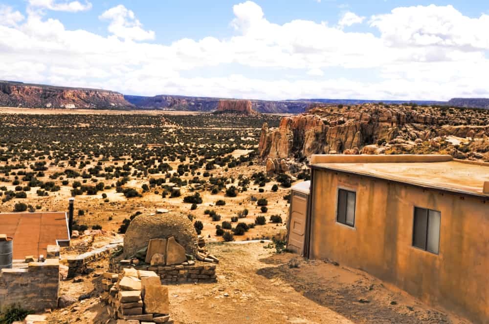 Acoma Pueblo Village – Houses and road on Acoma Pueblo Village
 Acoma Pueblo Village – Acoma Pueblo Village
What makes Acoma Pueblo Village unique?
It is perched atop a mesa and has been inhabited for over 1,000 years.
Where is Acoma Pueblo Village located?
It is located at 1 Sky City Drive, Acoma, NM 87034. This map location will guide you.
When is the best time to visit Acoma Pueblo Village?
Spring and fall offer cooler temperatures.
What can you do at Acoma Pueblo Village?
Take a guided tour to explore the adobe houses, learn about the Acoma people, discover history and Pueblo pottery at the Haak’u Museum, and visit the 17th-century Spanish mission church, San Esteban del Rey.
What can you see from Acoma Pueblo Village?
The sprawling cacti-dotted desert landscapes, Mount Taylor, and sandstone cliffs.
What are the village homes like?
Simple with thick walls, small windows, wooden beams, and handmade pottery.
10. Dive into the Blue Hole of Santa Rosa
The Blue Hole of Santa Rosa is a natural spring with clear blue waters surrounded by desert landscapes, perfect for divers, swimmers, and Instagrammers.
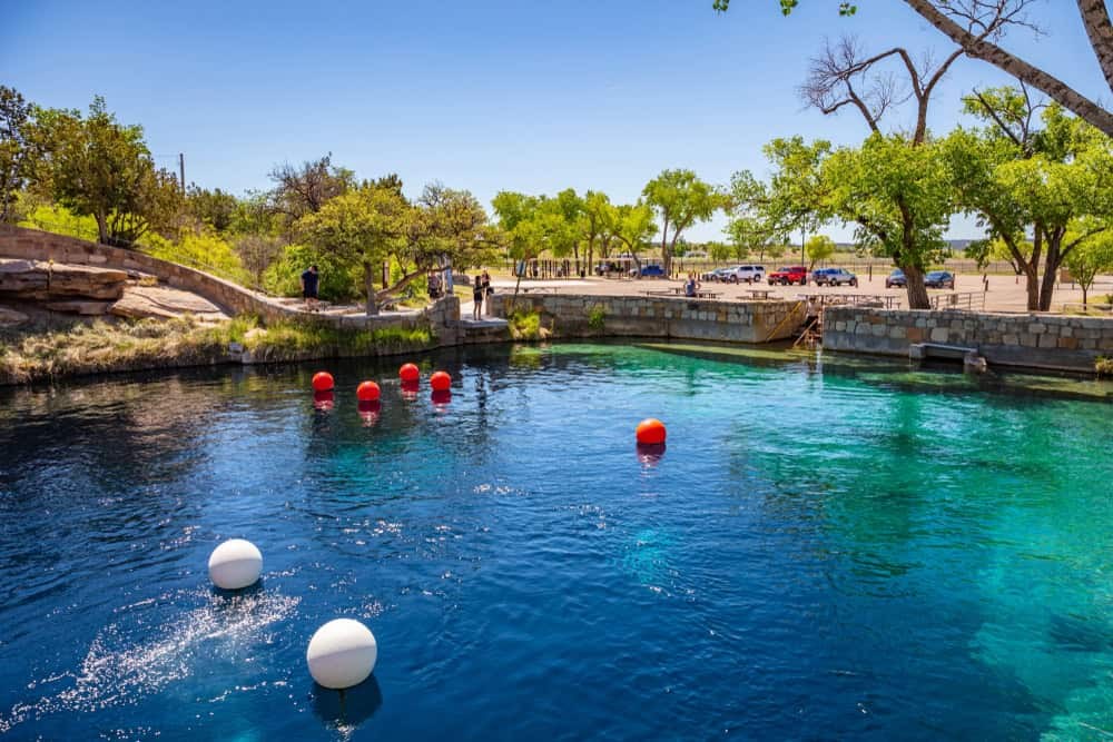 Blue Hole of Santa Rosa – A clear blue water hole surrounded by rocks and land
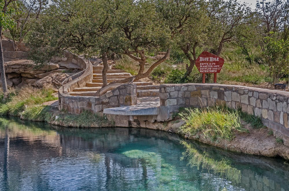 Blue Hole of Santa Rosa – People swimming at blue water hole
What makes the Blue Hole of Santa Rosa special?
Its clear blue waters and visibility of up to 100 feet make it a sought-after inland dive site.
Where is the Blue Hole of Santa Rosa located?
It is located at 15 Blue Hole Rd, Santa Rosa, NM 88435. Use this map location to find your way.
When is the best time to visit the Blue Hole of Santa Rosa?
Spring, summer, or fall.
What activities can you enjoy at the Blue Hole?
Scuba diving, swimming, snorkeling, cliff jumping, and relaxing around the edge.
What amenities are available at the Blue Hole?
Shaded picnic areas near the parking lot.
11. Hike the Taos Mountain Trail
The Taos Mountain Trail offers breathtaking scenery with alpine peaks, forests, wildflower meadows, and views of the Sangre de Cristo Mountains.
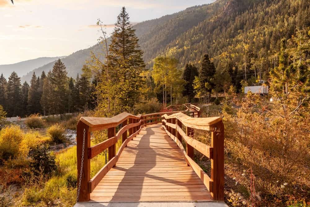 Taos Mountain Trail – Taos Ski Valley – A lake with water and snow near the mountains and green trees
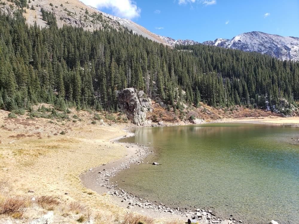 The Taos Mountain Trail – Lake Williams – A landscape shot of clear water, snow-covered mountains, and bright-colored trees at The Taos Mountain Trail
What makes the Taos Mountain Trail appealing?
It offers challenging hiking with rewarding views and diverse scenery.
Where does the Taos Mountain Trail start?
The trail starts at Taos Ski Valley.
Where is the Taos Mountain Trail located?
It is located at 6 W. D. Road, Taos Ski Valley, NM 87525. Use this map location to find the trailhead.
When is the best time to hike the Taos Mountain Trail?
Spring or fall for comfortable temperatures.
What is the highlight of the Taos Mountain Trail?
Reaching the summit of Wheeler Peak and enjoying 360-degree views.
How long is the Taos Mountain Trail?
The trail is 7.5 miles one way or 15 miles round trip.
12. Ride the Cumbres-Toltec Scenic Railway
The Cumbres-Toltec Scenic Railway is a historic narrow-gauge railway that has been operating since 1880, passing through the scenic Rio Grande National Forest.
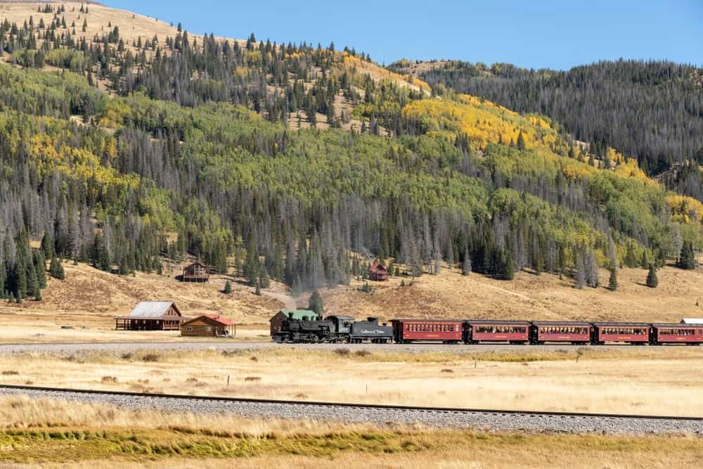 Cumbres-Toltec Scenic Railway – Cumbres-Toltec Scenic Railway
 Cumbres-Toltec Scenic Railway – Historic Cumbres-Toltec Scenic Railway in New Mexico
What makes the Cumbres-Toltec Scenic Railway a unique attraction?
It offers a nostalgic trip back to a more elegant time with breathtaking views.
Where does the Cumbres-Toltec Scenic Railway operate?
It primarily runs between Chama, New Mexico, and Antonito, Colorado.
Where is the Cumbres-Toltec Scenic Railroad located?
It is located at 500 Terrace Ave, Antonito, CO 81120. This map location will guide you.
When is the best time to ride the Cumbres-Toltec Scenic Railway?
The rides typically run from late May to mid-October.
What scenery can you see on the railway?
Rugged Rocky Mountains, lush pine forests, wildflower meadows, and dramatic canyons.
What are the highlights of the railway experience?
Dining in the buffet cart at Osier Station and experiencing the open gondola for scenic views.
13. Discover the Volcanic Landscape of El Malpais National Monument
El Malpais National Monument features volcanic formations, cliffs, lava flows, juniper forests, and geological features.
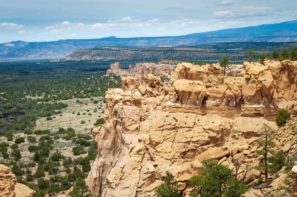 El Malpais National Monument – A landscape of rock formations at El Malpais National Monument
 El Malpais National Monument – Rock formations, a landscape, and bright sky at El Malpais National Monument
What makes El Malpais National Monument unique?
Its dramatic volcanic landscape and geological diversity.
Where is El Malpais National Monument located?
It is located at 5051 New Mexico 117, Grants, NM 87020. Use this map location to find your way.
When is the best time to visit El Malpais National Monument?
Spring and fall when the temperatures are cooler.
What can you do at El Malpais National Monument?
Hike scenic trails, explore lava tubes, learn about the area’s geology at the visitor center, marvel at La Ventana Natural Arch, gaze at petroglyphs in Cebolla Canyon, and spot wildlife.
What is the highlight of visiting El Malpais?
Hiking the Lava Falls Trail through volcanic crater landscapes and discovering Bandera Ice Cave.
What will you find inside the Bandera Ice Cave?
Frozen thick ice tinged with green and huge icicles.
14. Explore Carlsbad Caverns National Park
Carlsbad Caverns National Park features caverns, diverse ecosystems, desert landscapes, and rugged mountains.
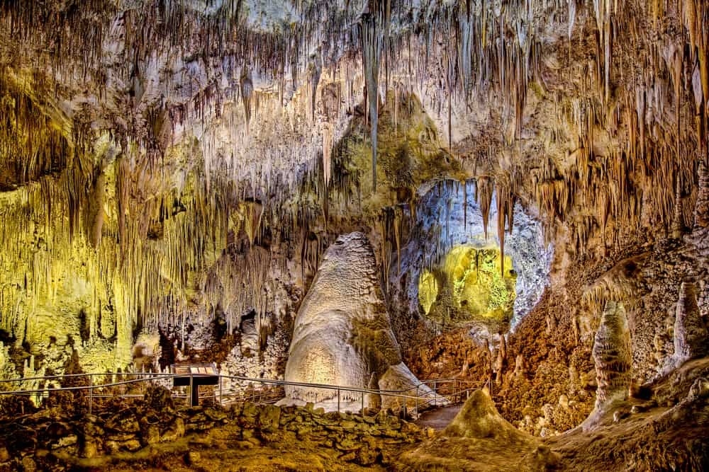 Carlsbad Caverns National Park – Carlsbad Caverns National Park at daytime
 Carlsbad Caverns National Park – Cave walls at Carlsbad Caverns National Park
What makes Carlsbad Caverns National Park a must-see?
Its jaw-dropping caverns and diverse above-ground landscapes.
Where is Carlsbad Caverns National Park located?
It is located at 727 Carlsbad Caverns Hwy, Carlsbad, NM 88220. This map location will guide you.
When is the best time to visit Carlsbad Caverns National Park?
Spring, summer, or fall.
What can you see and do at Carlsbad Caverns?
Explore the Big Room chamber, watch a film at the visitor’s center, and hike down the Natural Entrance trail.
What is special about the Big Room?
It is one of the largest underground chambers in North America.
What is the bat flight program?
Thousands of Mexican free-tailed bats emerge from the cave at dusk during the summer months.
Where is the Rattlesnake Springs Trail located?
Located above ground, which takes you to the rare oasis, Rattlesnake Springs which is fed by natural springs.
15. Explore Chaco Culture National Historical Park
Chaco Culture National Historical Park is an archaeological network of ancient Pueblo architecture dating from 900 to 1150 AD.
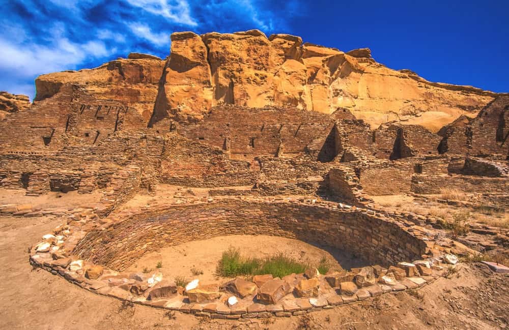 Chaco Culture National Historical Park – Ancient Pueblo architecture and buildings at Chaco Culture National Historical Park
 Chaco Culture National Historical Park – Pueblo Bonito is the best-known structure with over 600 rooms at Chaco Culture National Historical Park
What makes Chaco Culture National Historical Park significant?
It is a UNESCO World Heritage Site with ancient Pueblo architecture.
Where is Chaco Culture National Historical Park located?
It is located at 1808 CR 7950, Nageezi, NM 87037. This map location will guide you.
When is the best time to visit Chaco Culture National Historical Park?
Spring and fall for cooler temperatures.
What can you see and do at Chaco Culture National Historical Park?
Explore Pueblo Bonito and Chetro Ketl, visit Casa Rinconada, hike the ancient trails, and discover petroglyphs at Fajada Butte.
What are Pueblo Bonito and Chetro Ketl?
Pueblo Bonito features over 600 rooms, and Chetro Ketl is known for its large sunken kiva.
How long is the Pueblo Alto Trail?
The Pueblo Alto Trail is a challenging 5.4-mile round trip.
16. Stand in Awe on the Taos Gorge Bridge
The Taos Gorge Bridge spans the Rio Grande Gorge and offers extraordinary scenery, embodying the state’s sense of adventure.
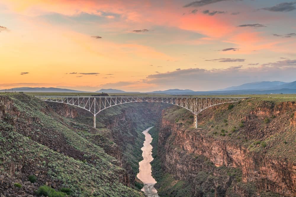 Taos Gorge Bridge New Mexico – Aerial view of Taos Gorge Bridge in New Mexico
What is notable about the Taos Gorge Bridge?
It is the fifth-highest bridge in the USA and has been featured in several famous films.
Where is the Taos Gorge Bridge located?
It is located off NM-570, Taos, NM 87571. [This map location](https://www.google.co.uk/maps/place/Rio+Grande+Gorge+Bridge/@36.4762244,-105.7356207,17z/data


